Drone survey and photogrammetry combine advanced UAV technology with image processing to capture and map large areas efficiently and accurately. Drone surveys use unmanned aerial vehicles to gather data, such as high-resolution photos, which are then processed to create detailed maps, 3D models, and digital elevation models.
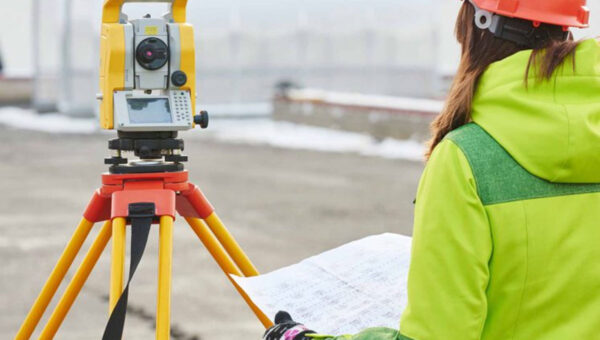
Drone Surveying is used to collect precise measurements for mapping, topographic analysis, and land surveying, offering benefits like faster data collection, lower costs, and improved safety. Drones can access difficult terrains and provide high-accuracy results with minimal human effort.
Photogrammetry is the technique of generating 2D or 3D models from photographs. When combined with drones, photogrammetry can produce orthophotos and models with centimeter-level precision by processing overlapping images.
Applications span various industries, including construction, agriculture, mining, environmental monitoring, and urban planning. While drones provide significant advantages in terms of speed and accuracy, challenges include weather dependency and regulatory restrictions.
In summary, drone surveying and photogrammetry offer powerful, cost-effective tools for mapping, monitoring, and analysis across multiple sectors.


